Perambulation of the Forest of Dartmoor (Cullever Steps to Rattlebrook Foot)
The full Perambulation of the Forest of Dartmoor is around 50 miles. This post covers one leg (or around 20% of the route). The perambulation is being completed for the fourth time by the author as part of the 780th anniversary (1240-2020), having first completed it in 1990 (750th Anniversary). Each of the previous three perambulations were completed in a clockwise direction, this one being anti-clockwise.
The story of the Dartmoor Perambulation starts with King John in May 1204, when in a desperate attempt to raise funds for an army to for a war with King Phillip of France, he gave up his rights in Devon but retained the highlands of Dartmoor. It is believed it raised 5000 marks for the crown. In those times the term “forest” in this context was crown land, reserved for hunting comprised trees, turf and vegetation, where hunting would have included deer, hare, rabbit, pheasant, boar, wolf, fox, martin, partridge, quail, heron and mallard. The boundary was important as revenue could be derived from activities within the forest. King John failed (as with Saxon and Norman tradition) to order a “perambulation” to seal the boundary lines. However, in spite of this, it was not until his son, King Henry III came to the thrown that the first perambulation of Dartmoor was secured, this was in 1240. The perambulators completed their task on the 24th of July who were: William Brewer, Guy Breteville, William Wydeworthy, Hugo Bellay, Richard Gyppard, Odo Treverbyn, Henry the son of Henry, William Trenchard, Phillip Parrer, Nicholas Heamton, William Moreleghe and Durant the son of Boton.
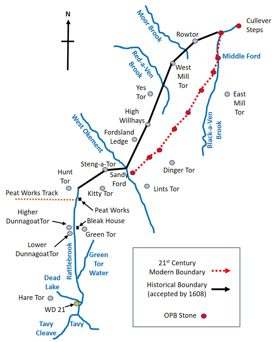
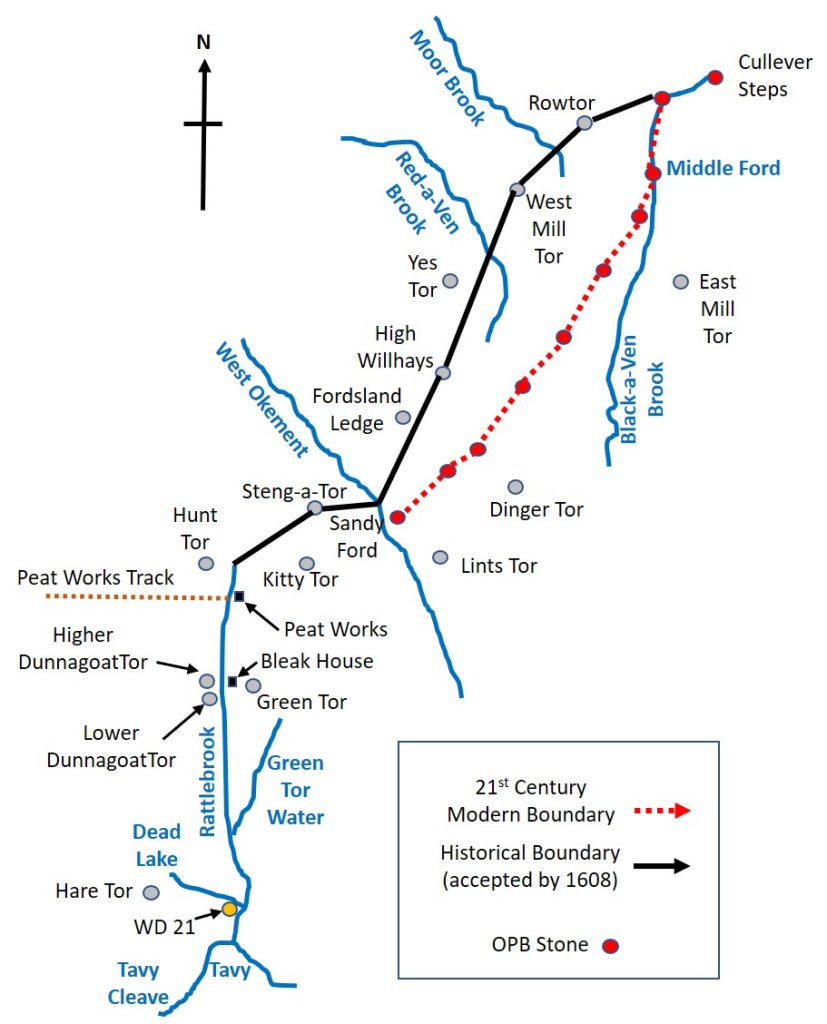
The original 1240 perambulation was written in medieval latin and was subsequently open to interpretation for a few centuries. In 1608/9, a major attempt was made to clarify the boundary and later when OS mapped Dartmoor in 19th century, they relied on locals to define the boundary. Both these boundaries are shown in this post, however, the 1608/9 boundary is the one that most modern “perambulators” follow.
Note: The source of information for the above has been from a) Dartmoor’s Greatest Walk by Bill Ransom (1987) – Devon Books and b) Dartmoor’s Greatest Long Distance Walk by Roland Ebdon (2016) – Halsgrove.
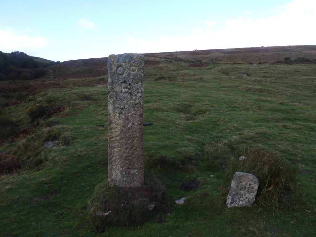
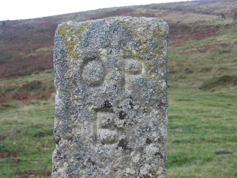
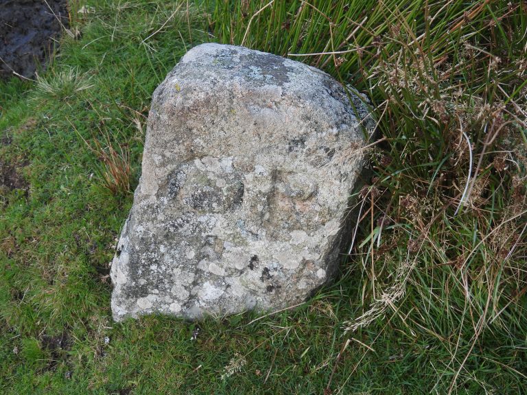
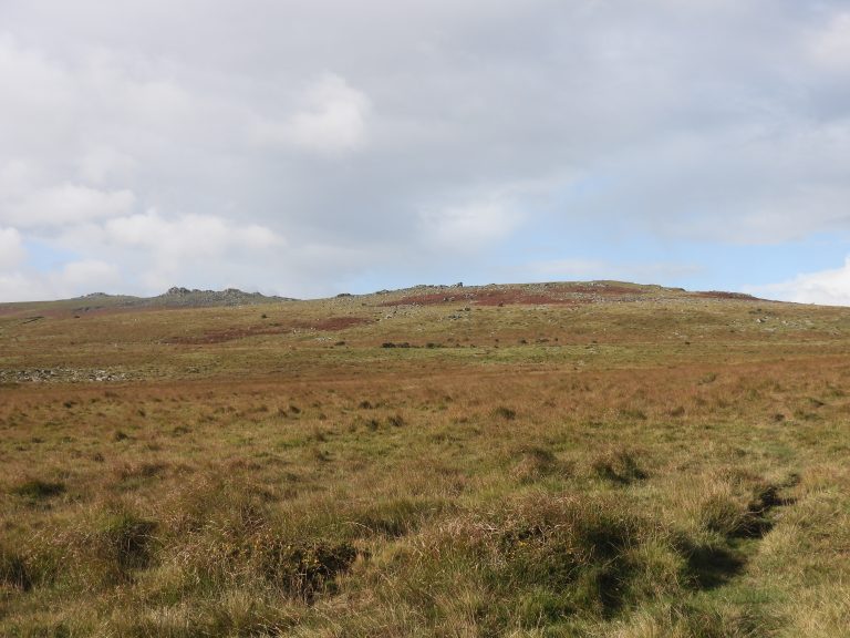
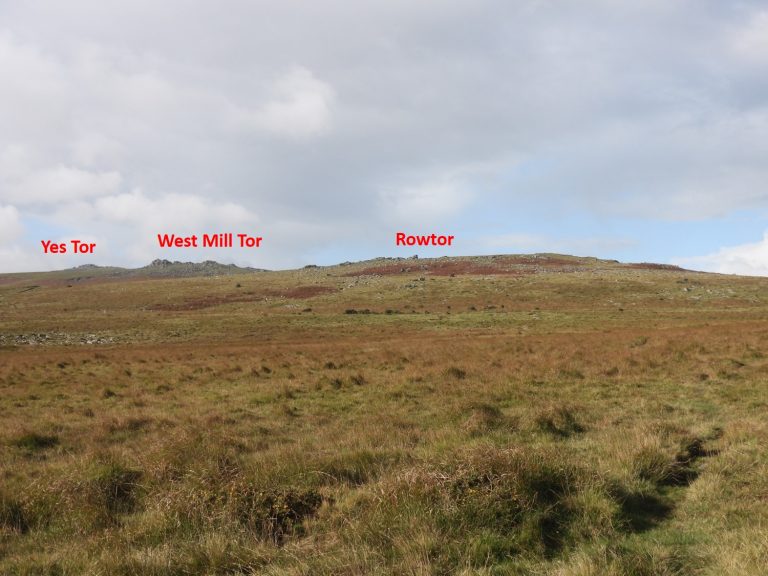
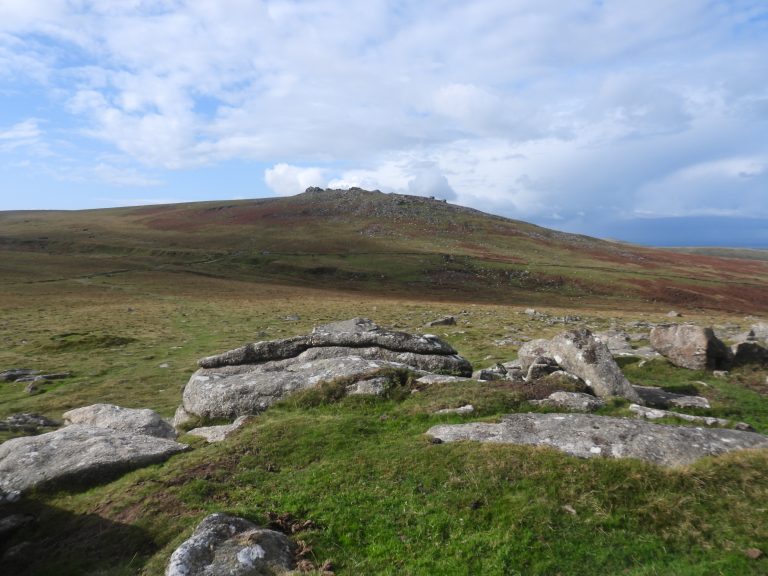
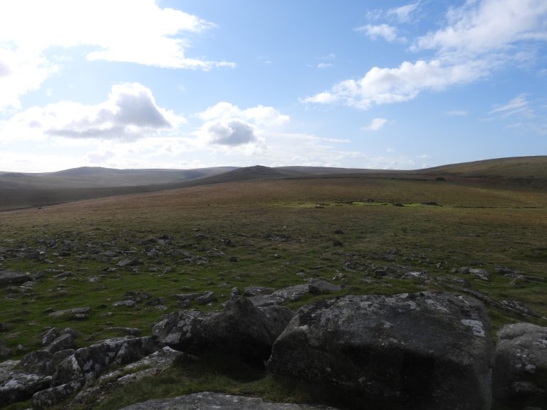
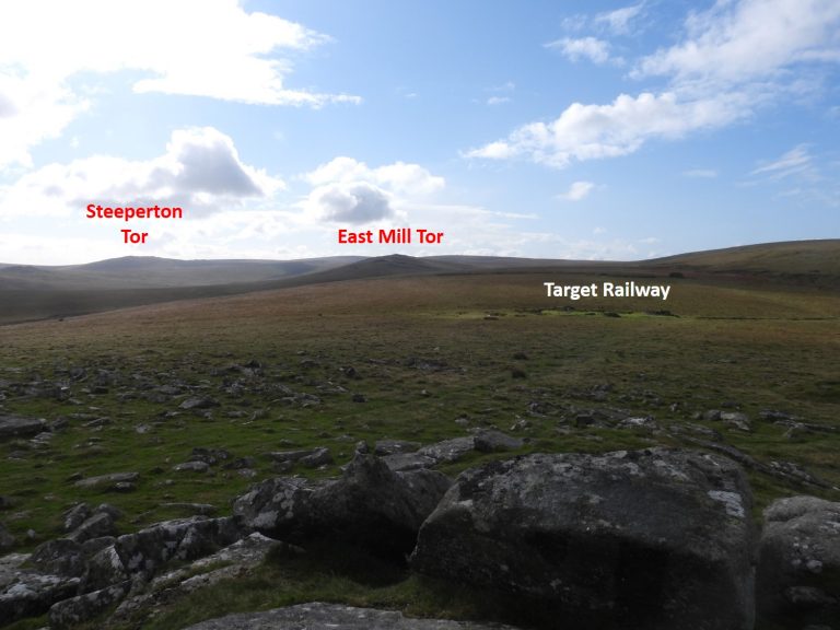
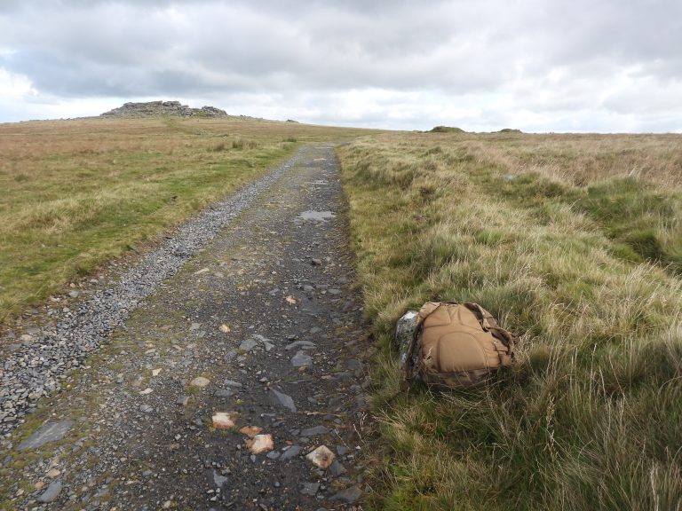
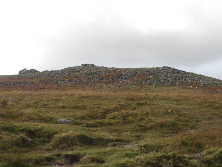
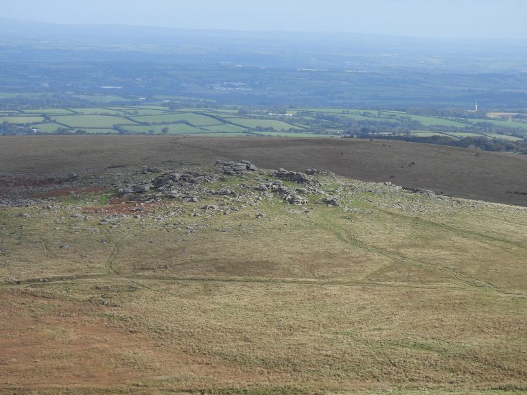
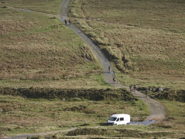
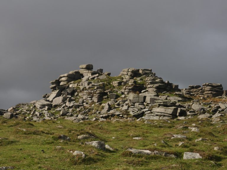
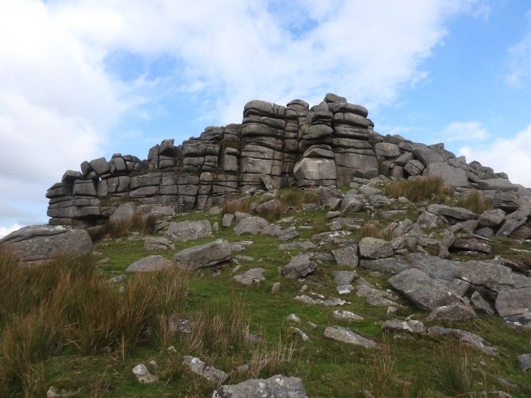
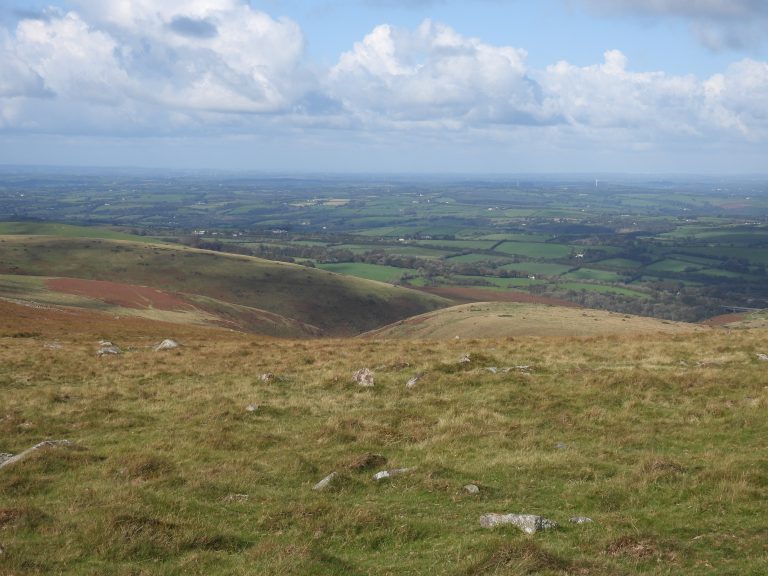
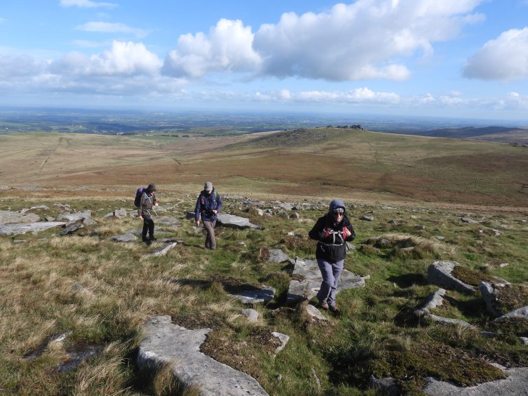
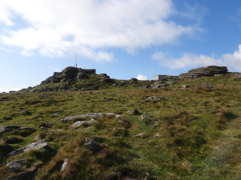
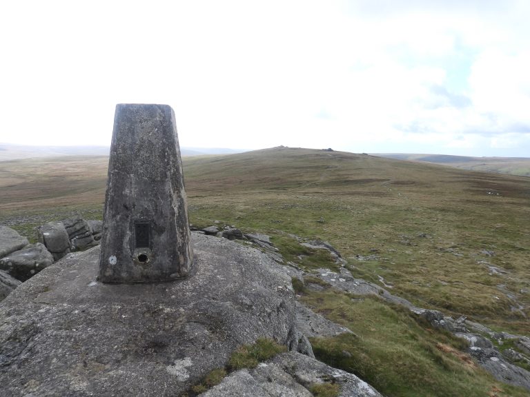
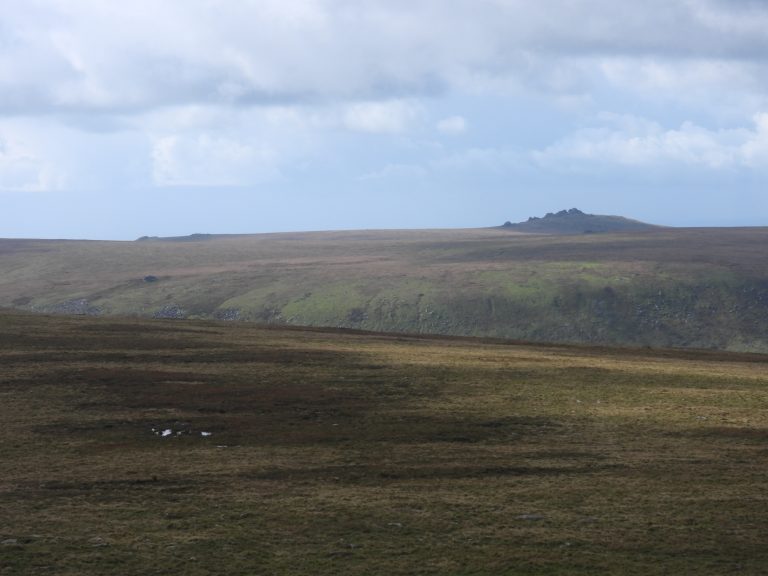
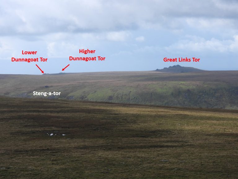
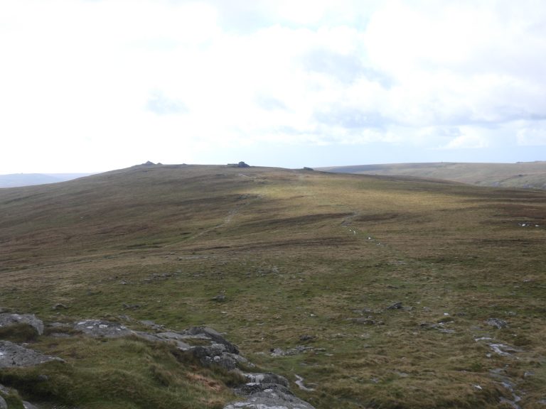
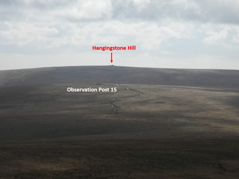
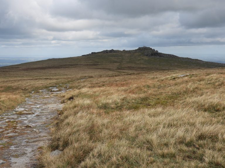
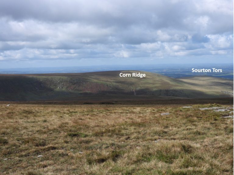
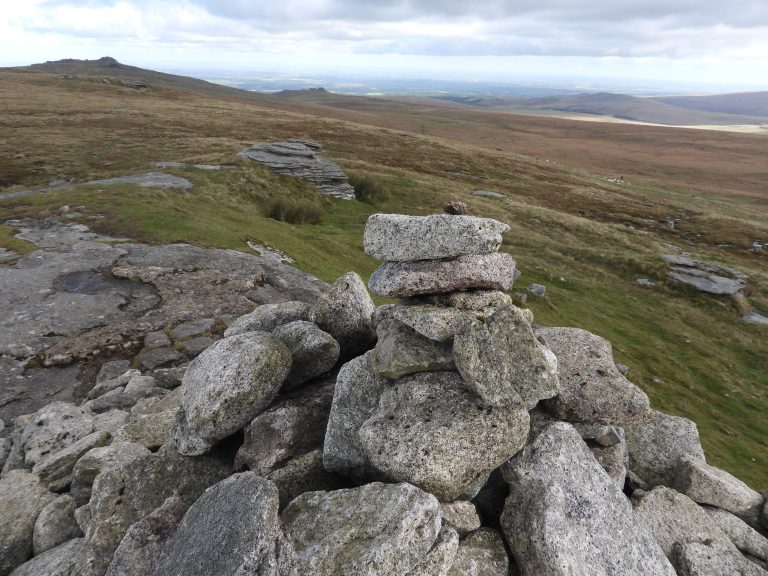
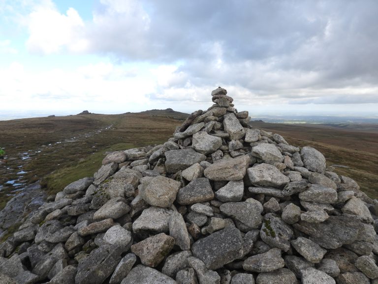
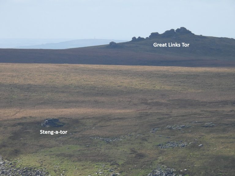
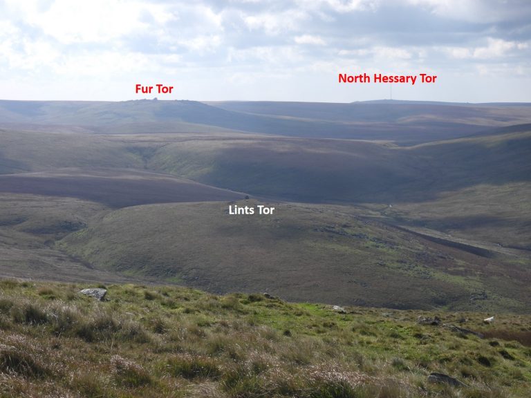
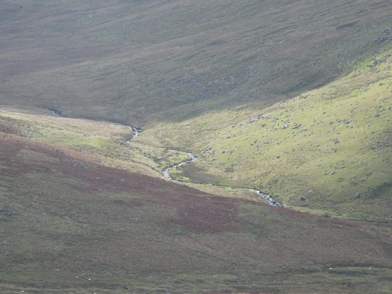
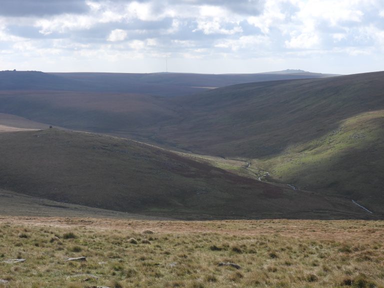
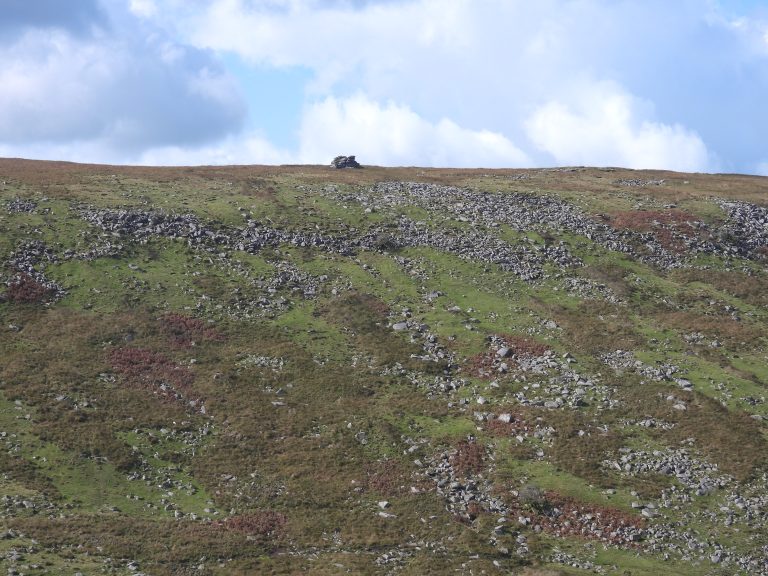
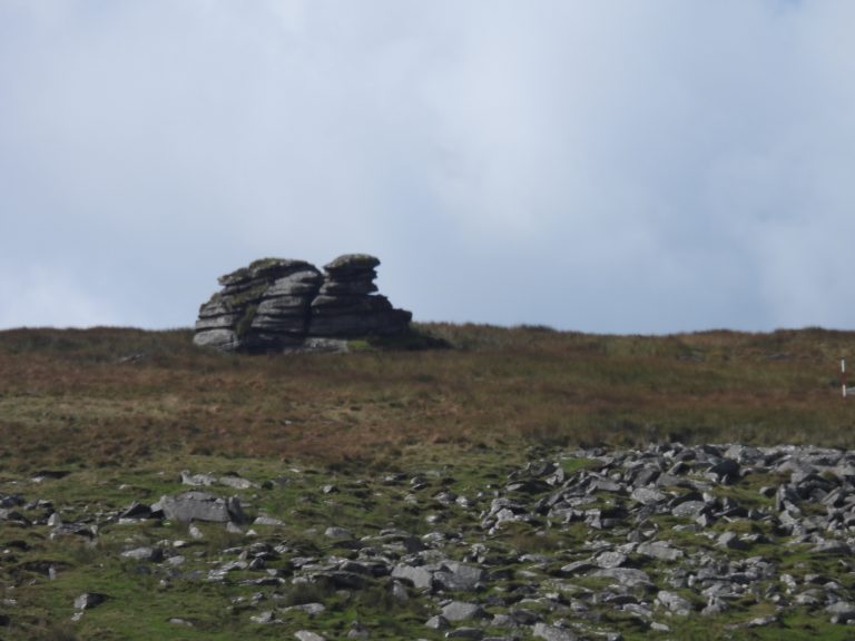
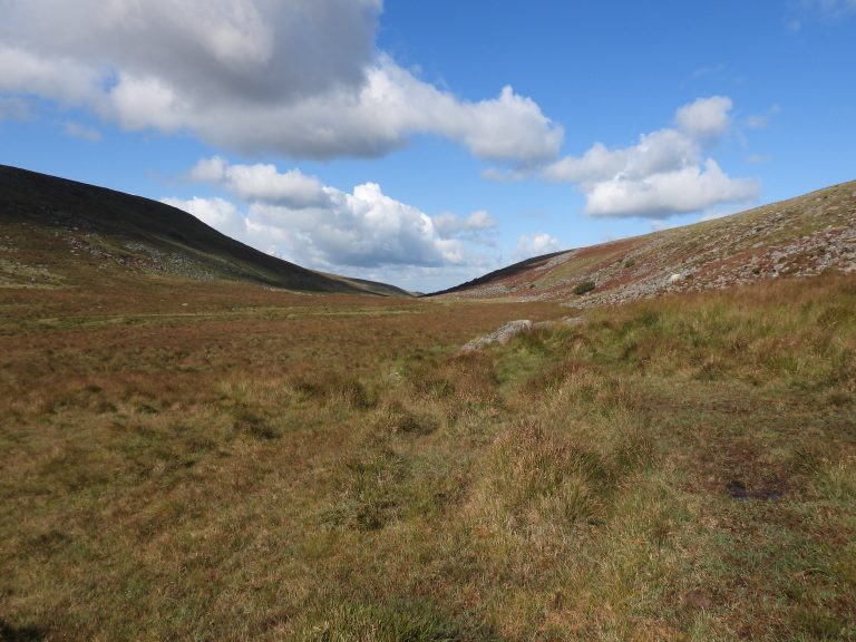
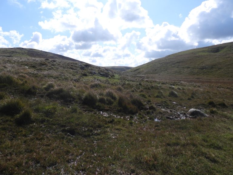
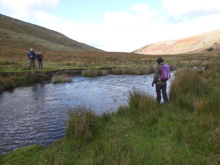
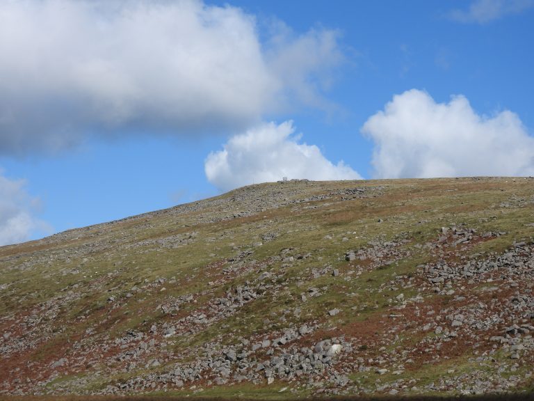
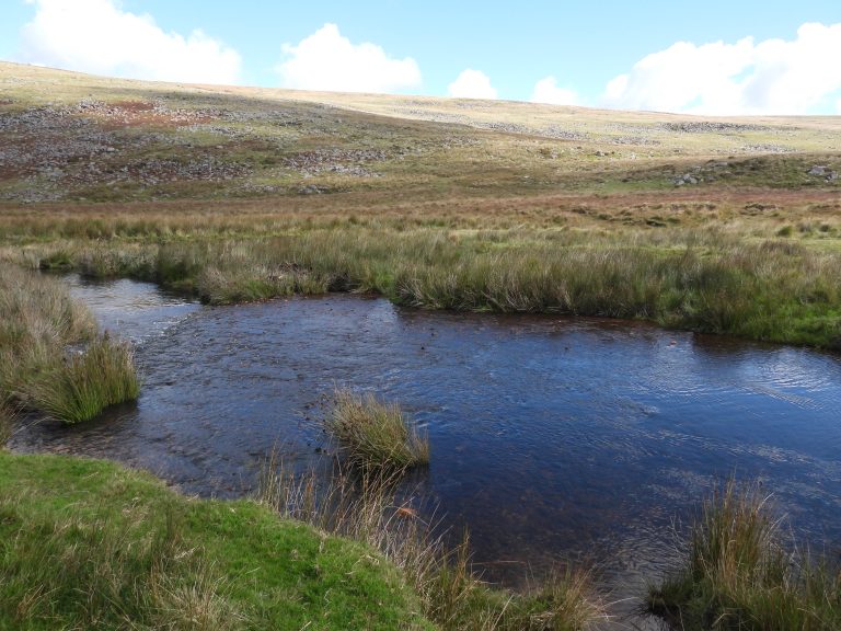
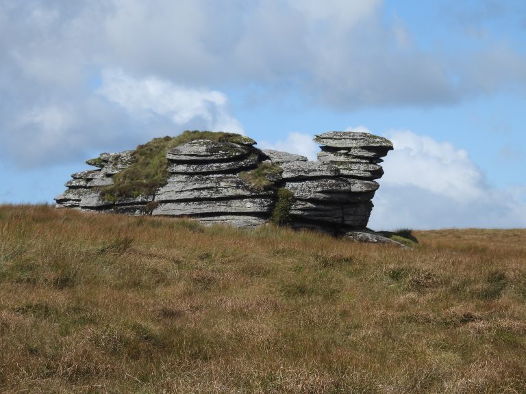
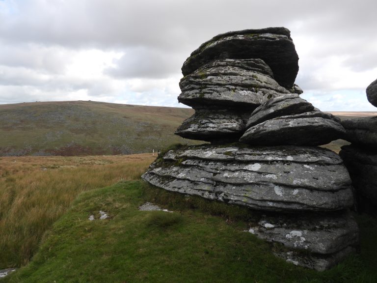
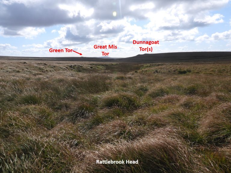
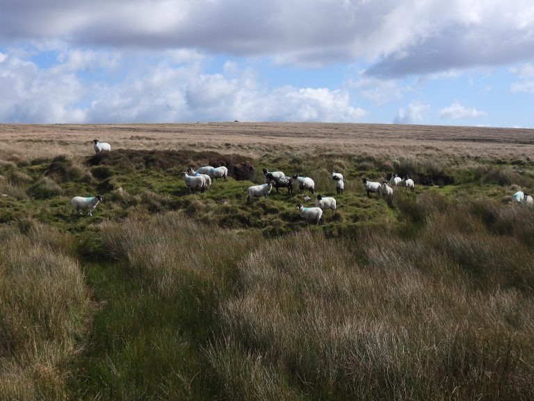
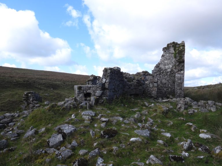
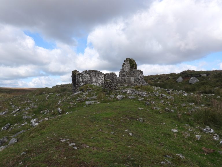
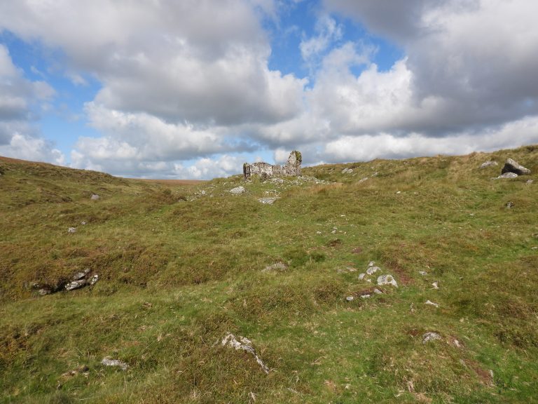
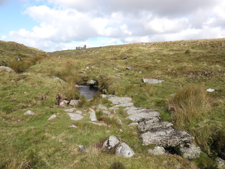
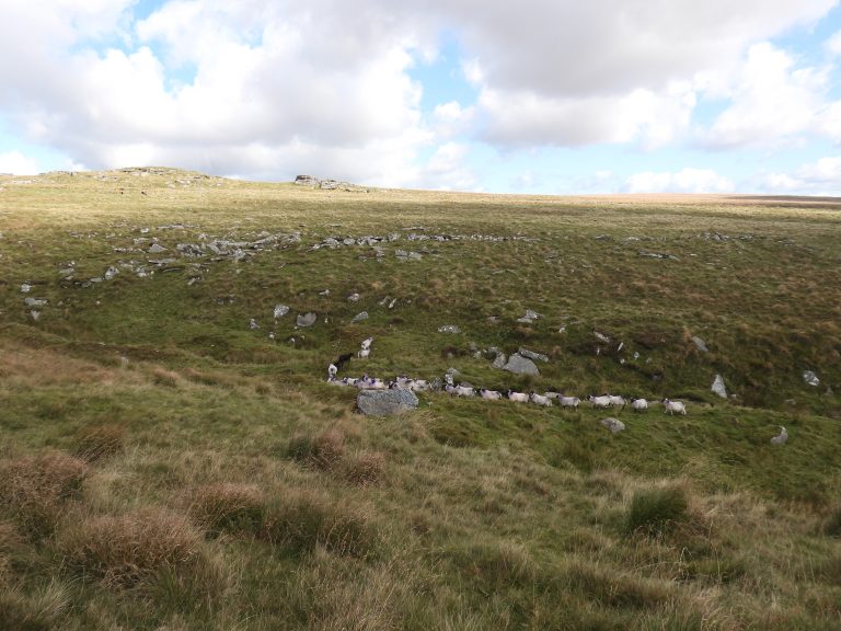
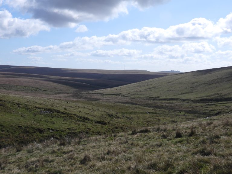
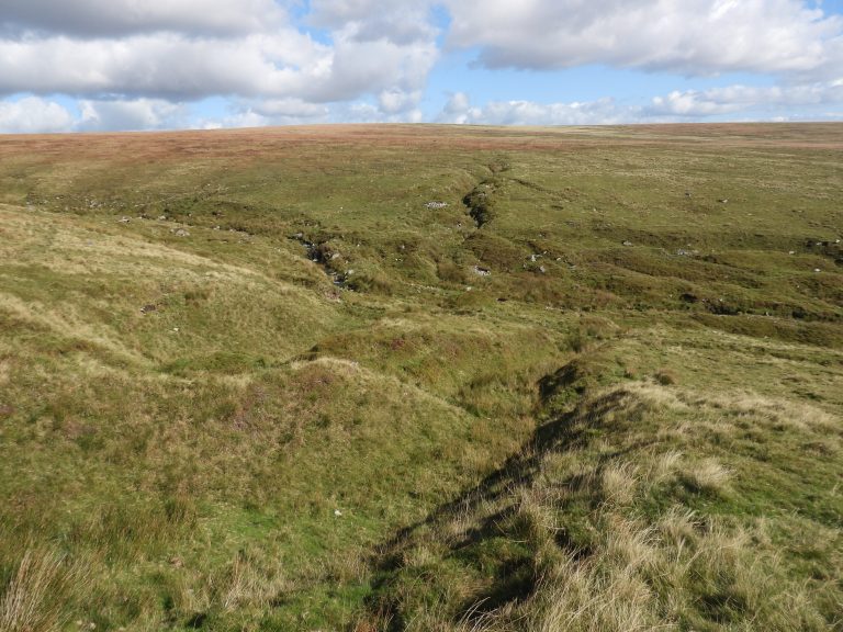
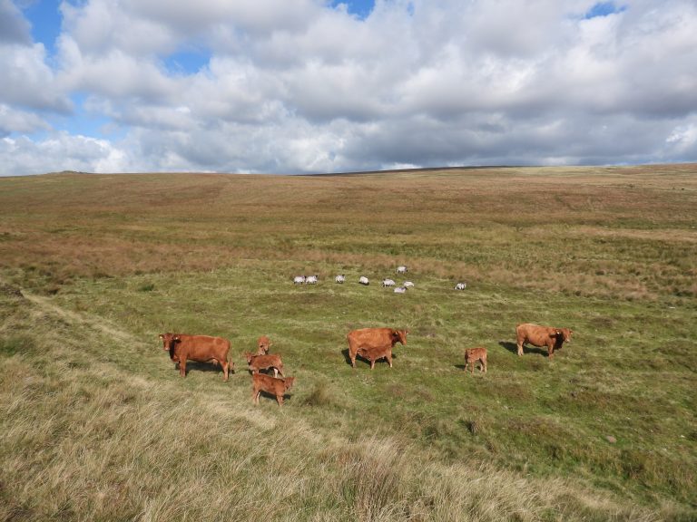
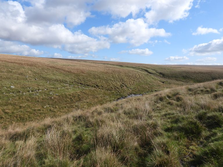
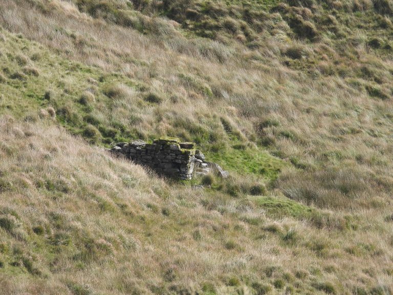
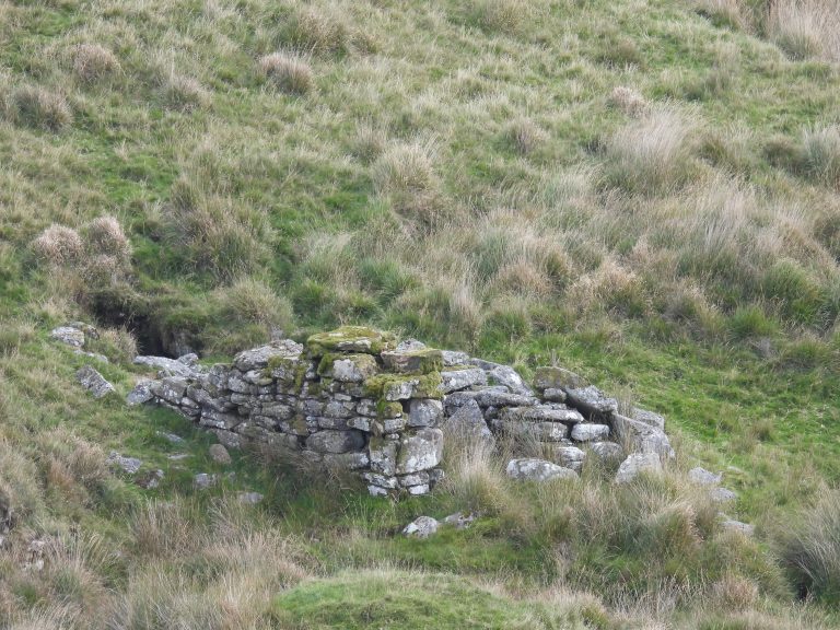
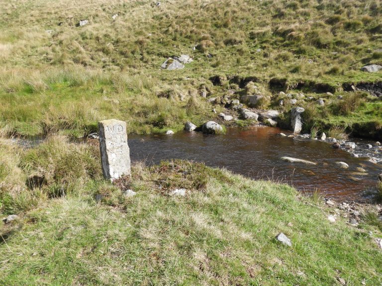
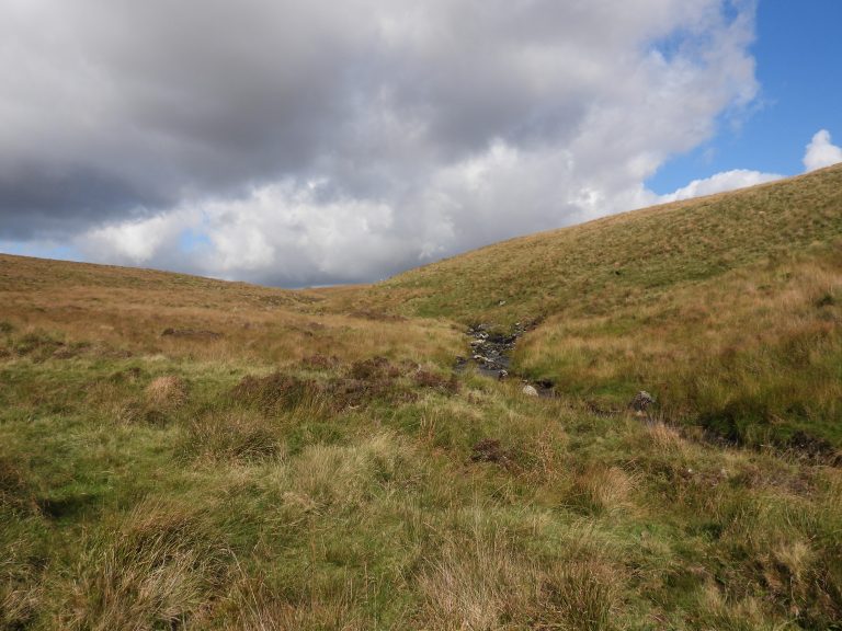
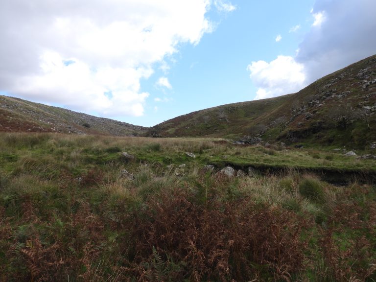
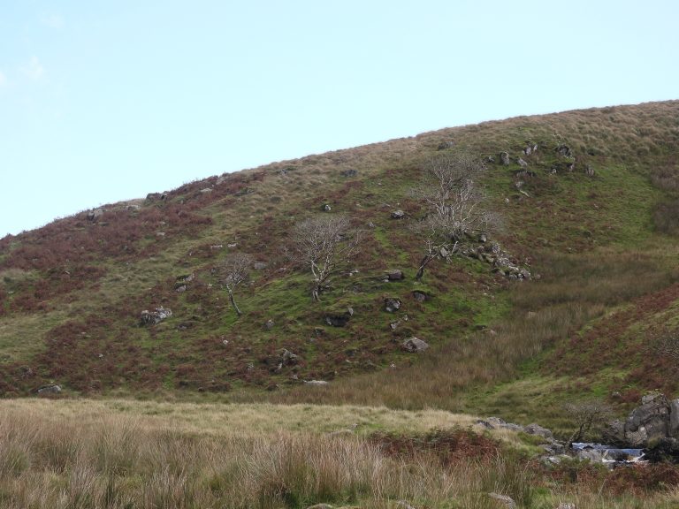
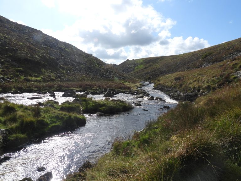
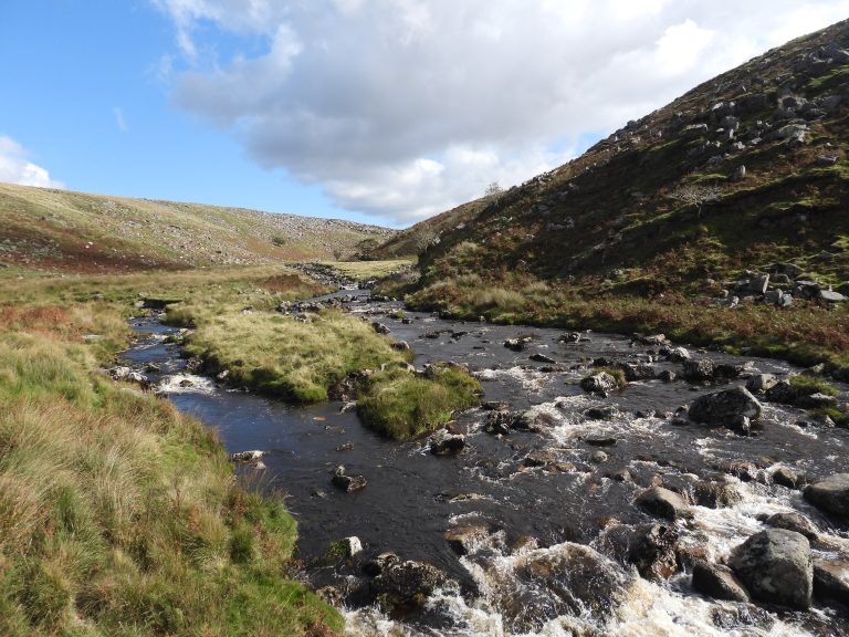
The route from Cullever Steps to Rattlebrook, adapted from the Bill Ransom publication. It respresents approx 20% of the full perambulation circuit.The two OP B markers at Cullever Steps. Close up of the larger (newer) stone. OP B stands for Okehampton Parish BoundsSmaller (older) of the OP B stonesThe wide expanses of the open moor, showing the three tors on the route; Row Tor, West Mill Tor and Yes TorAnnotated photographView from the top of Row Tor, looking towards West Mill TorView looking south from Row Tor. In the foreground is the target railway, in the middle distance is East Mill Tor and on the horizon (top left) is Steeperton TorAnnotated photographAn Army Bergen with no soldier attached to it, between Row Tor and West Mill TorClimbing to West Mill Tor then onto Yes Tor (top left)Looking down on Row Tor from West Mill TorThe army sent out a search party for the lost Bergen. The van is at Moor BrookWest Mill TorWest Mill TorLooking West down the Red-a-Ven valleyClimbing the last few metres of Yes TorYes Tor summit – Ernestorre to the PerambulatorsYes Tor TrigView over West Okement towards Great Links TorFirst view of Steng-a-tor, one of the ports of call on this leg of the perambulationView of High Willhays from Yes TorFrom the Yes Tor / High Willhays ridge, sweeping views to OP15 and Hangingstone HillHigh Willhays track looking back towards Yes TorLooking west from High Willhays ridgeHigh Willhays, looking back at Yes Tor, West Mill Tor and Row TorHigh Willhays, 621m above sea levelView across West Okement ValleyLooking south from near Fordland Ledge. Far reaching view as far as North Hessary TorWest Okement river, upstream from Sandy Ford and below Lints Tor Zoomed out view of West Okement river. Lints Tor (mid-distance left) and Great Mis Tor (top right) are clearly visible.Steng-a-tor on the ridge, a steep climb up from the West Okement riverZoom in on Steng-a-torView from West Okement river valley floor, looking northLooking south up West Okement river, near Sandy FordCrossing Sandy FordView of Fordlands Ledge from Sandy FordSandy Ford, safely negotiatedSteng-a-tor; la Westolle to the perambulatorsSteng-a-tor with view across to Fordlands Ledge and High WillhaysThe ground between Steng-a-tor and Rattlebrook Head is very rough. This picture is at Rattlebrook Head looking south as far as Great Mis Tor.Sheep near Rattlebrook HeadBleak House (peat works managers former residence)Leaving Bleak House after a lunch stopApproaching the clapper across the Rattlebrook below Bleak HouseThe clapper across the RattlebrookMore sheep on the Rattlebrook, looking across to Green TorLooking south down Rattlebrook ValleyRattlebrook MineCattle and sheep on the Rattlebrook, with Amicombe Hill in backgroundRattlebrook around the region of Curbeam Mine / Wheal George. This dark line on the opposite bank is possibly an unfinished leat leading to an unused wheel pit (see next photograph)Unused wheelpit, believed to be associated with Wheal George. There is no evidence of a completed leat near this ruin.Unused wheelpit at SX56303 84267(War Department) WD 21 stone at Dead Lake Foot.Approaching Rattlebrook Foot, looking back.Just a few metres from Rattlebrook Foot, looking up river Tavy valley (eastwards). Western Oke huts are on the ridge on the left of this photograph.Looking up Tavy valley. The area with the three trees is sometimes called “Lord Mayors Castle”The Rattlebrook (nearest camera) meets the Tavy coming in from the left at head of Tavy CleaveRattlebrook Foot – Rakernesbrokyfote to the perambulators